SnakPak Exhibitions Presents Guatemala Relief Map
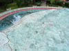 |
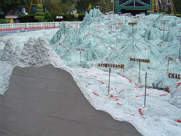
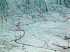
This scale model relief map of the country of Guatemala was inaugurated on October 29, 1905. One of the world’s largest maps, the concrete and masonry construction covers more than 1,800 square meters (19,500 square feet). |
 |
Previous |
Next |